Interpreting Ripple Propagation Speeds Across Water Surfaces to Locate Submerged Pathways in Aquatic Exploration Scenarios
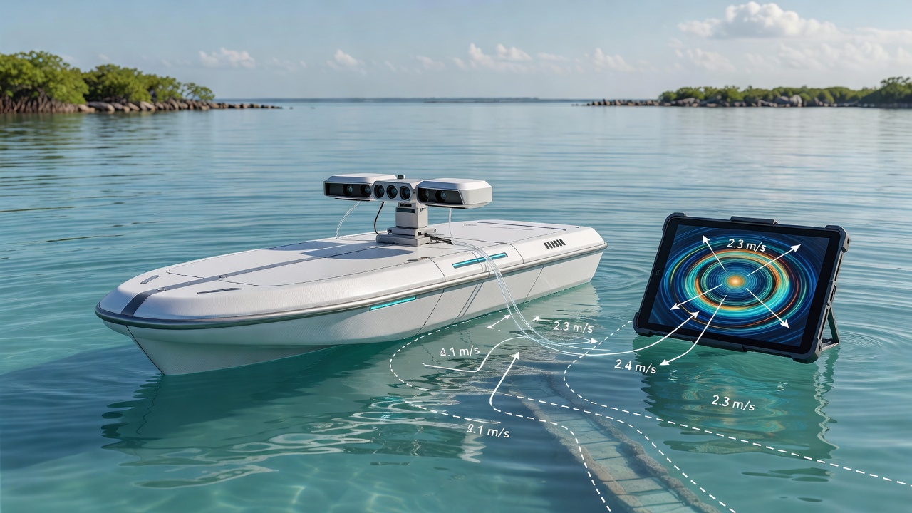
Researchers studying fluid dynamics have long examined how surface ripples travel at varying speeds when they encounter changes in water depth or hidden obstacles below, and this principle forms the basis for mapping submerged pathways in lakes, rivers, and coastal zones. The speed of small ripples depends primarily on surface tension and gravity in deeper water, yet shifts noticeably in shallower areas where wave behavior transitions to depend on depth alone, allowing observers to infer the contours of features like underwater channels or cave entrances without direct visual confirmation.
Core Principles of Wave Speed Analysis
Experts calculate ripple velocity using established equations that relate wavelength to propagation rate, and when these measurements occur across a grid of points on the surface, patterns emerge that highlight transitions from deep to shallow zones. Data from field instruments such as laser Doppler velocimeters show consistent speed reductions of up to 30 percent when ripples cross areas with submerged ledges less than half the ripple wavelength in height, while faster propagation often signals deeper troughs that could represent navigable routes for divers or remotely operated vehicles. Observers note that wind-driven ripples provide natural signals in many environments, though controlled mechanical wave generators improve accuracy during systematic surveys by producing repeatable frequencies between 2 and 10 hertz.
Measurement Techniques in Practice
Teams deploy arrays of floating sensors equipped with accelerometers to record passage times between marked points, and software then processes these intervals into speed maps that overlay bathymetric data collected by sonar. In one documented approach used along the Great Barrier Reef fringes, researchers combined high-speed cameras with pressure transducers to capture both surface motion and subsurface pressure changes simultaneously, revealing pathways that traditional echo sounding had missed due to sediment cover. Such methods prove especially useful in low-visibility conditions where light penetration fails yet surface disturbances remain detectable, and calibration against known depth markers ensures the derived maps align with actual topography within a few centimeters of error.
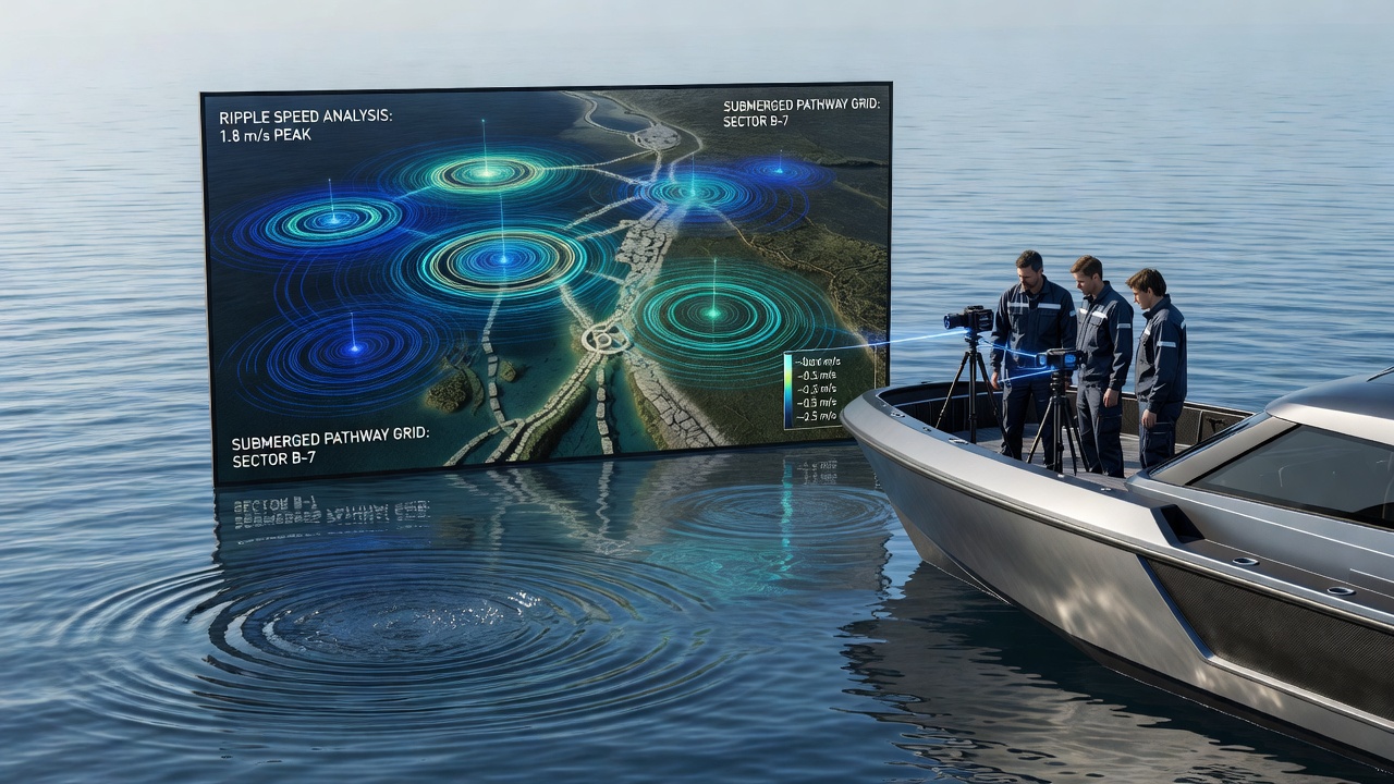
Canadian hydrographic surveys conducted through the Canadian Hydrographic Service have applied similar ripple analysis alongside multibeam sonar to update nautical charts in complex fjord systems, and the resulting datasets help identify safe passages for small craft through areas previously marked as hazardous. Meanwhile studies from institutions in Australia focus on riverine environments where seasonal flow changes alter ripple behavior, allowing seasonal pathway updates that support both recreational kayakers and environmental monitoring programs tracking sediment movement.
Applications Across Exploration Contexts
Underwater archaeologists utilize these techniques to trace ancient riverbeds now submerged on continental shelves, where ripple speed anomalies often correspond to former settlement sites or trade routes buried under sediment layers. In cave diving operations, teams have employed portable ripple generators at surface access points to detect air-filled chambers or continuation tunnels that standard visual scouting overlooks, and this non-invasive step reduces risk before physical entry. Environmental agencies track changes in coastal erosion patterns by monitoring how ripple propagation evolves over time, since shifts in speed distributions can indicate developing channels that influence local ecosystems and sediment transport rates.
Recent Developments and June 2026 Outlook
Advancements in drone-mounted wave sensors now allow rapid coverage of larger surface areas, and integration with machine learning algorithms refines the interpretation of complex ripple interactions caused by multiple overlapping submerged features. In June 2026 researchers plan expanded trials in the Baltic Sea region using autonomous surface vehicles that collect continuous ripple data while cross-referencing satellite altimetry for broader context, building on earlier pilot programs that demonstrated pathway detection rates above 85 percent in test basins. These efforts align with ongoing work at various European marine institutes that emphasize open data sharing to improve global models of shallow-water wave dynamics.
Challenges and Refinement Processes
Background noise from boat wakes or strong currents can distort measurements, so practitioners apply filtering routines that isolate target ripple frequencies before mapping begins, and multiple passes under differing wind conditions help average out transient effects. Temperature gradients near the surface also influence viscosity and thus propagation speed, requiring simultaneous temperature profiling to maintain accuracy across sessions. Those who have refined these protocols over repeated field seasons report that combining ripple data with complementary sensors such as magnetometers or ground-penetrating radar yields the most reliable pathway identifications, particularly in mixed sediment and rock environments.
Conclusion
The systematic interpretation of ripple propagation speeds continues to expand the toolkit available for aquatic exploration by providing surface-accessible clues to subsurface structures. As sensor technology and analytical methods evolve, practitioners across scientific, commercial, and recreational domains gain improved capacity to locate and navigate submerged pathways efficiently and safely, supported by expanding datasets from international monitoring networks.