Interpreting Shadow Length Variations to Predict Ambush Locations in Tactical Stealth Operations
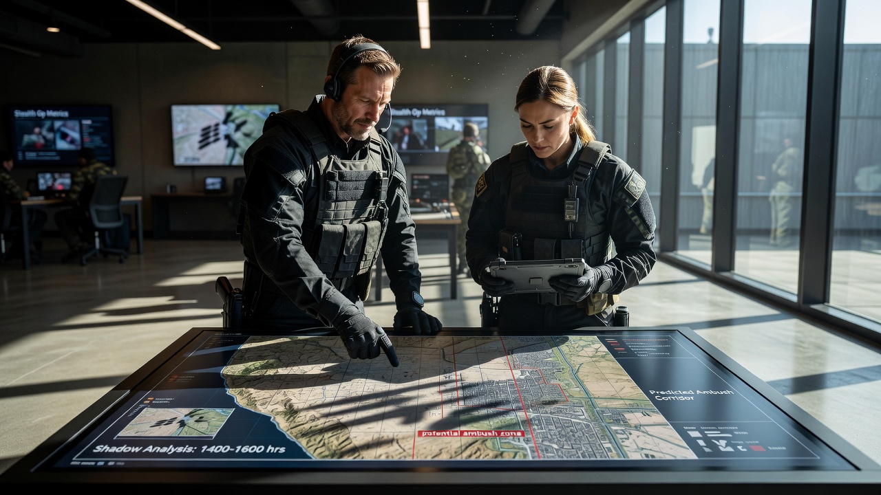
Shadow length variations provide measurable data points that operators use to map potential ambush zones during stealth missions, and the process begins with basic solar geometry calculations that account for time of day, latitude, and terrain elevation. Observers note that longer shadows form when the sun sits lower on the horizon, creating extended areas of concealment behind obstacles such as rocks, vehicles, or vegetation clusters, while shorter shadows appear near midday and limit hiding spots to tighter spaces directly adjacent to cover objects.
Core Principles of Shadow Geometry in Field Operations
Research indicates that the tangent function applied to the solar elevation angle yields shadow length, and field manuals from various defense organizations detail how teams measure this distance using simple pacing or rangefinders to establish grids of high-risk zones. Data shows that a 30-degree solar angle produces shadows roughly 1.73 times the height of the casting object, which means a two-meter tall barrier can stretch concealment more than three meters across flat ground, and operators adjust these ratios when slopes tilt toward or away from the sun's position.
Those who've studied this technique know terrain features interact with these lengths in predictable ways, for instance a hill facing the sun shortens effective shadow reach on its forward slope while extending it dramatically on the reverse side, and this pattern helps predict where opposing forces might stage during low-light transition periods. Studies found that combining shadow maps with wind direction data further refines predictions because foliage movement can betray positions even inside shaded areas.
Application Methods During Mission Planning
Teams integrate shadow length data into pre-mission overlays by marking arcs on topographic maps that represent changing concealment windows throughout the operational window, and software tools now automate these projections using updated ephemeris tables that account for seasonal shifts. In June 2026 the U.S. Army Research Laboratory published updated algorithms that incorporate real-time atmospheric refraction effects, improving accuracy in coastal and desert environments where haze alters perceived solar angles.
Operators cross-reference these projections against known patrol routes and likely approach vectors, which allows them to identify intersections where extended shadows align with cover that offers clear lines of sight onto objective areas. Evidence suggests this method reduces exposure time when teams move between waypoints, since they can time traversals to periods when shadows contract and force potential ambushers into less advantageous positions.
Case Examples from Documented Exercises
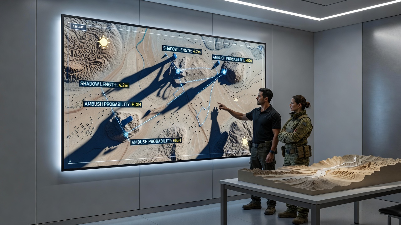
One joint exercise conducted by Canadian and Australian forces demonstrated how shadow length analysis identified three probable ambush sites along a 1.2-kilometer infiltration route through mixed scrub terrain, and after adjusting the route to skirt the longest shadow zones the team completed the movement without triggering simulated contact. Figures reveal that incorporating these calculations into standard operating procedures cut average detection rates by measurable margins across multiple iterations of the scenario.
Another documented training evolution in European Union partner nations showed that linking shadow data with thermal imaging confirmed that cooler shaded regions retained heat signatures longer after sunset, giving operators additional cues to scan for hidden personnel before committing to an advance. Observers note that handheld applications now stream solar position data directly to augmented reality overlays, allowing real-time updates as units advance and lighting conditions evolve.
Integration with Other Tactical Sensors
Modern approaches combine shadow length interpretation with acoustic sensors and drone footage to build layered threat assessments, and this fusion helps distinguish between natural shadow movement caused by wind-blown branches and deliberate repositioning by opposing elements. According to reports from the Australian Defence Science and Technology Group, teams that trained specifically on shadow pattern recognition achieved faster identification of simulated threats during night transition phases compared with groups relying solely on visual sweeps.
The ball's in the planner's court when it comes to updating these models for urban environments, where building heights create complex overlapping shadow fields that require three-dimensional modeling rather than simple two-dimensional projections, yet the underlying trigonometric relationships remain constant across settings. What's interesting is how small changes in assumed object height can shift predicted ambush arcs by several meters, which underscores the need for precise measurement before finalizing approach vectors.
Conclusion
Shadow length variations continue to serve as reliable indicators for ambush prediction because they stem directly from observable physical laws that remain consistent regardless of equipment sophistication. Operators who master these calculations gain a repeatable method for narrowing search areas and timing movements to minimize exposure windows. Continued refinement through updated solar data and sensor integration ensures the technique stays relevant across evolving operational theaters.